Home
Search
Browse Collections
My Account
About
Digital Commons Network™
Skip to main content
Home
>
A History of Central Florida Maps
A History of Central Florida Maps
Printing is not supported at the primary Gallery Thumbnail page. Please first navigate to a specific Image before printing.
Follow
Switch View to List
View Slideshow
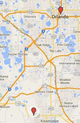
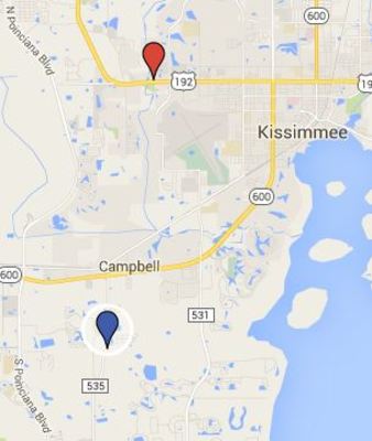
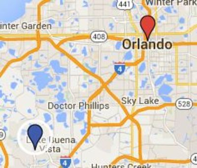
Episode 47 John Young's Flight Suit location Google map
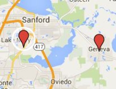
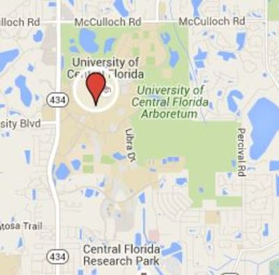
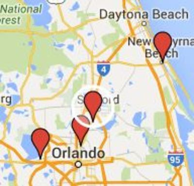
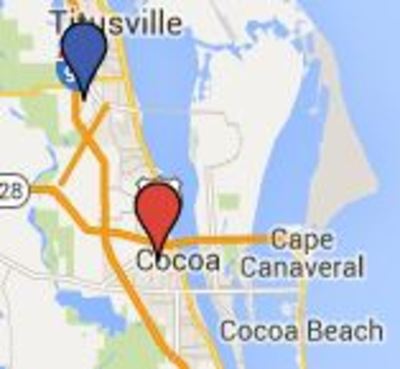
Episode 48 Electronic Communications locations Google map
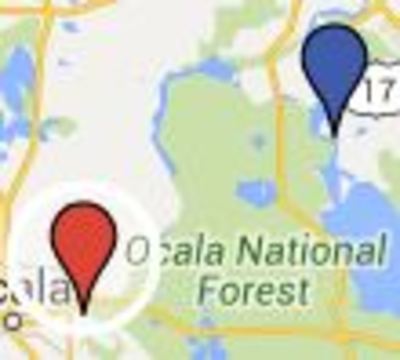
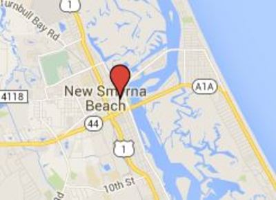
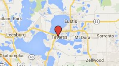
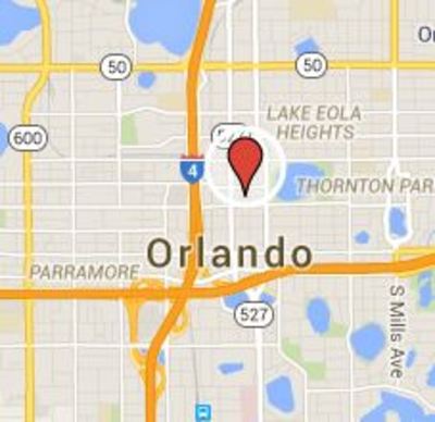
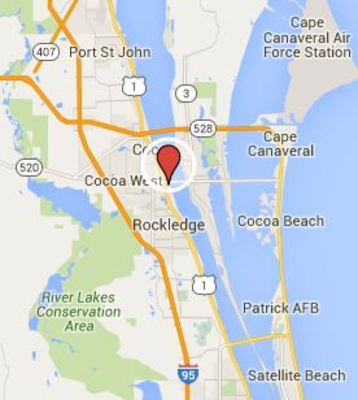
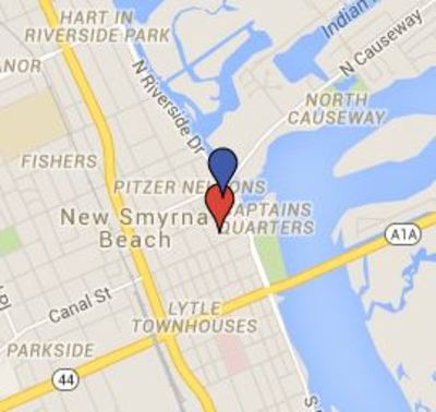
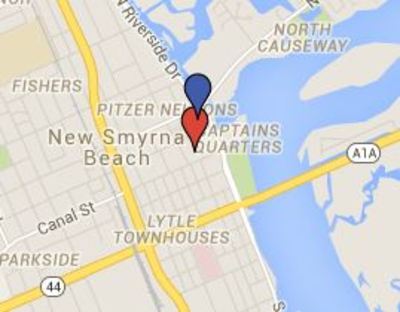
Episode 49 La Garita location Google map
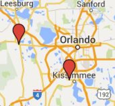
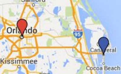
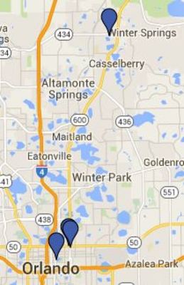
Episode 50 Vernacular Exhibits location Google map
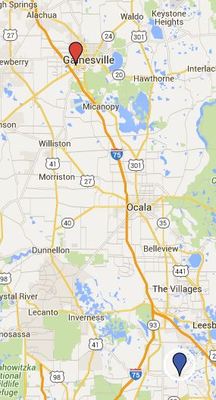
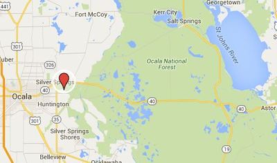
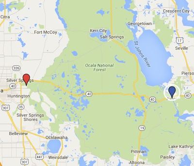
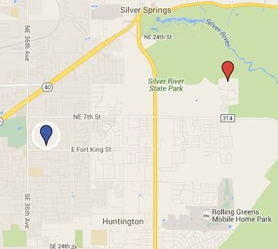
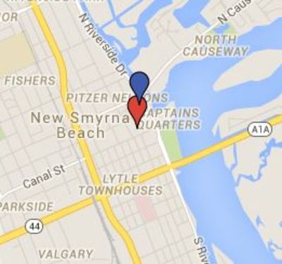
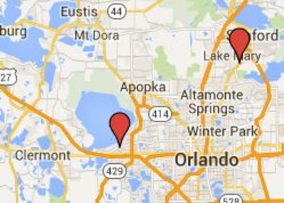
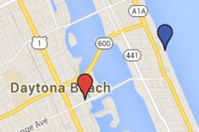
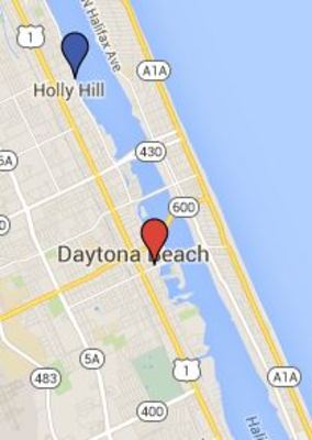
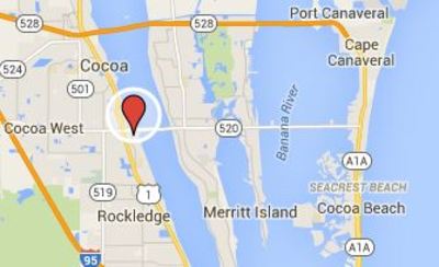
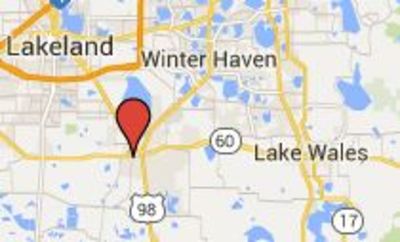
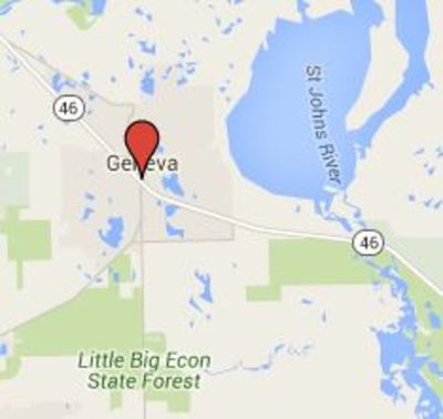
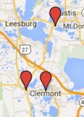
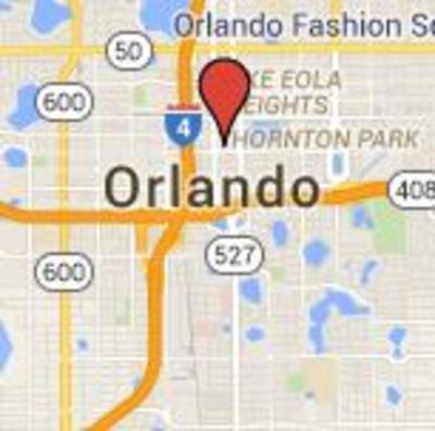
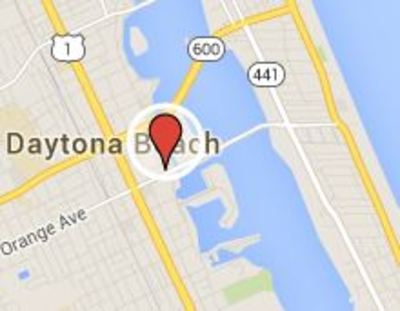
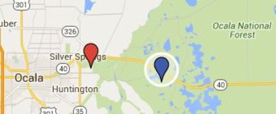
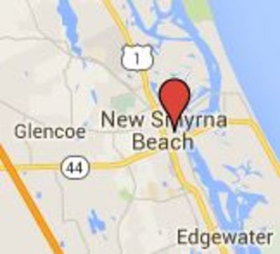
Episode 6 Early Maps of Florida locations Google Map
Episode 6 Early Maps of Florida locations Google Map
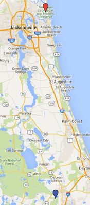
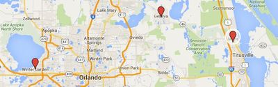
Episode 7 Spanish Mission Bell locations Google map
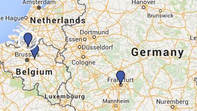
Episode 8 European Earthenware
Episode 9 St Benedict Medal location Google map
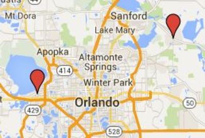
Episode 1 Windover Burial Site locations Google map
Episode 2 Ceramic Pots locations Google map
1
2
3
Enter search terms:
Select context to search:
in this collection
in this repository
across all repositories
Advanced Search
Notify me via email or
RSS
Explore
Authors
Colleges & Departments
Disciplines
Connect
My STARS Account
Frequently Asked Questions
Follow STARS
About STARS


